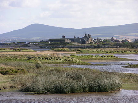
 Spey Bay Viewed Across the Mouth of the River Spey |
The Speyside Way is a long-distance path that begins in Buckie on the coast of Moray and ends at Newtonmore, 85 miles or 137 kilometres away. An optional side spur leads to Tomintoul and this adds 16 miles or 25 kilometres, as well as 865 metres (2,838 ft) of ascent. For much of its length, the Speyside Way follows the course of the River Spey as it passes through Speyside.
The central parts of the Way opened in 1981, with the Tomintoul spur following in 1990. The last five miles from Spey Bay to Buckie opened in 1999, and the southern section to Aviemore was added in April 2000. A further southern extension to Kingussie and Newtonmore, was added in 2021.
- Further information: To find out more about the Speyside Way, visit the official website at: www.speysideway.co.uk
- Guide Book: Speyside Way by Jacquetta Megarry and Sandra Bardwell (Amazon paid link.) This is the definitive guide to the Speyside Way.
- Undiscovered Scotland areas. For further information about accomodation, visitor attractions and settlements on or close to the Speyside Way, visit our area pages for Aviemore and Badenoch; and for Moray.
- Undiscovered Scotland feature pages. There are links to relevant Undiscovered Scotland feature pages about settlements via the strip map on this page or its text alternative.
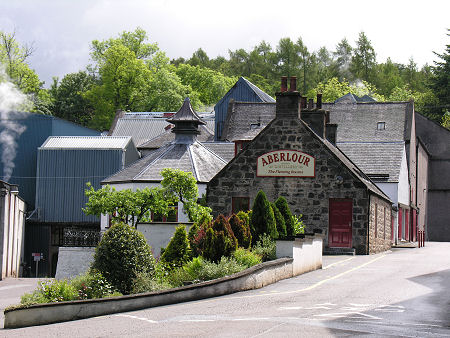 Aberlour Distillery |
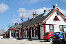
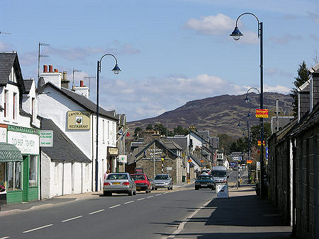 Newtonmore |

|
|
|
 |
Visitor InformationTo find out more about the Speyside Way, visit the official website at: www.speysideway.co.uk |
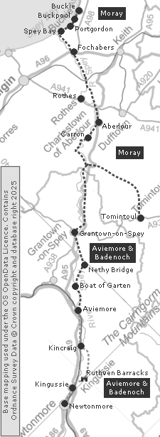 Features and Areas on the Walk
With Text Alternative Below |