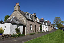
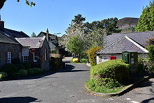
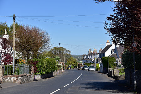
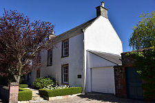
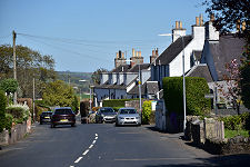
 Dick Road in Bowden |
The pretty village of Bowden can be found some three miles by road south of Melrose and two west of St Boswells. The A699 passes a little to the south, so getting here takes a small conscious effort that is amply repaid when you arrive.
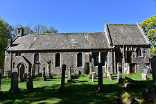
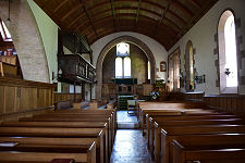
The origins of Bowden date back over nine centuries and are closely linked to those of Bowden Kirk, which lies a short distance south of the centre of the village. In 1113, the future David I founded a Tironensian (or reformed Benedictine) Abbey at Selkirk, while his father Malcolm III was still on the throne. Amongst the estates granted to the new abbey was land at Bowden. In 1128 the community moved from Selkirk to Kelso and began work on the abbey whose remains are visible today. Amongst the property transferred from Selkirk to Kelso Abbey was a church which had been established by the monks at Bowden. (Continues below images...)
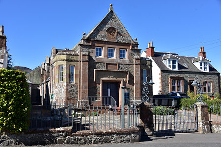 Bowden Public Hall |
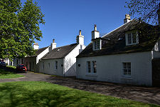
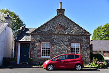
 Main Street |
The first written records of Bowden itself refer to it as Bothanden, derived from Old English and meaning “houses at the stream”, presumably a reference to the Bowden Burn which runs along the valley between the village and the kirk.
In 1296, The abbot of Kelso Abbey built a defensive tower at Holydean, a mile to the west of Bowden. In extended form, as Castle Holydean, this would become home to the Ker family, who later became the Dukes of Roxburghe and moved to Floors Castle in the early 1700s. Castle Holydean was demolished in 1760.
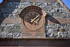
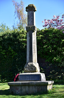
In 1531, Bowden was granted the right to hold a market and a mercat cross was installed. Parts of this were incorporated into the war memorial erected in the village after World War One.
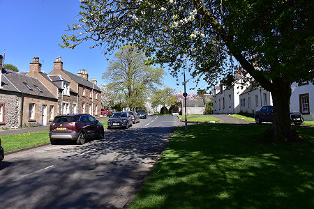
Bowden gained a pant well or public fountain in 1861 and a public hall in 1896, which was refurbished in 2003. The village itself extends from a green at its western end on either side of Dick Road, past The Square to Main Street, which leads north-east out of the village towards Newtown St Boswells. The kirk is reached by taking the minor road south from the centre of the village.
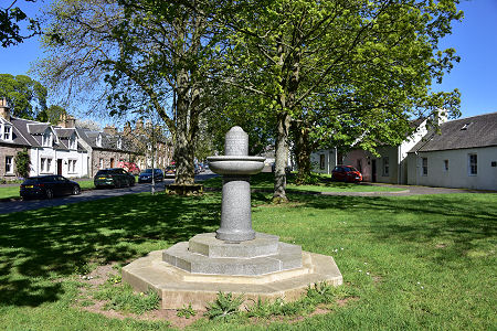 Thomas Brunton Memorial Fountain |

|
|
|
Visitor InformationView Location on MapWhat3Words Location: ///claim.handrail.flexibly |
 Mercat Cross and War Memorial |
 A Closer View... |
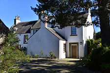
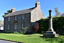
 Old Free Kirk Manse |
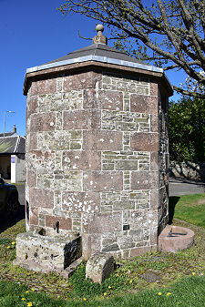 The Pant Well |
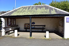 Information and Shelter |
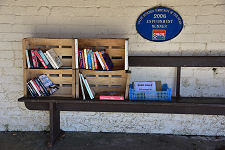 Community Library |
 Main Street |