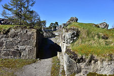
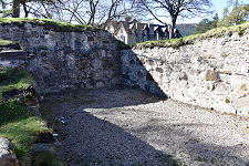
A View Into the Courtyard |
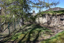
The remains of Kindrochit Castle stand above the right or east bank of the Cluny Water as it flows north through a ravine in the heart of Braemar in Aberdeenshire. The castle is easy to miss despite its central location. It lies a little to the south of the modern bridge over the river in the centre of the village and on the west side of the road leading past Braemar’s main car park.
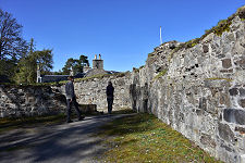
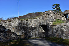
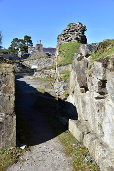
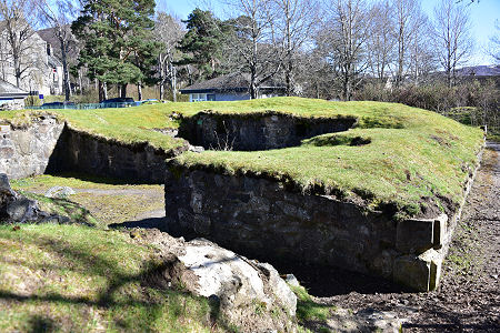
The entrance to the castle is close to the village’s police station. What you find is an extensive set of thick, turf-capped, walls rising to head height or more in places. Access is very good and the walls that remain are in good condition, thanks to remedial work carried out in 2013-4, prior to the site’s opening to the public in 2015.
There are excellent interpretive boards on site but, despite them, working out exactly what you are looking at still takes a little effort. That is partly because the ruins at first seem very uniform, without the distinctive features and changes in height that you usually find in castles. It is also partly because you are looking at two different phases of building that are out of alignment with one another. (Continues below images...)
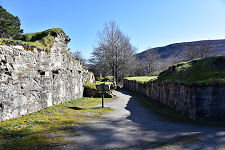
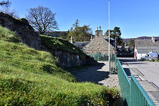
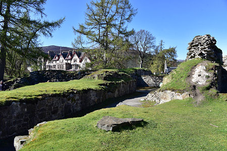 A View Over the Ruins to the Village |
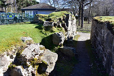
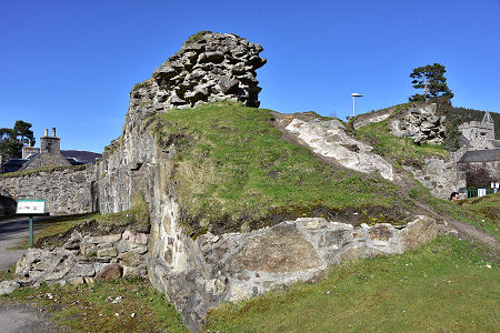
 Part of the Base of the Drummond Tower |
The origins of Kindrochit Castle date back to the reign of King Malcolm III. He is known to have spent time in the area in the late 1050s and built a hunting lodge on this site, together with a bridge across the Clunie Water. The name Kindrochit comes from the Gaelic for bridge head.
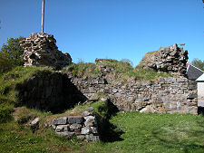
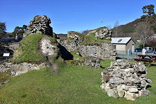
The oldest part of the remains you see today, comprising much of the northern and eastern parts of the site, date back to the building here of the Royal Castle of Kindrochit by King Robert II, probably in the early 1370s. Documents from the time show that Robert and the court often resided at Kindrochit during the hunting season each year. This castle comprised a hall and a series of ranges built around a courtyard. On its west side, a gate gave access to a bridge built across the Cluny Water.
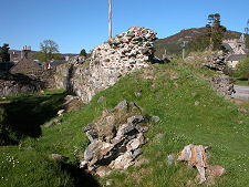
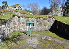
Robert II’s castle was significantly strengthened by Sir Malcolm Drummond, Earl of Mar, under orders from Robert III, in the years from 1390. Parts of the existing castle were demolished and the Drummond Tower was erected, on a different alignment to what had gone before. It’s hard to believe today, but what emerged was said to have been the fifth largest fortified tower in Scotland.
The circumstances of the castle’s demise are unclear, though a visitor recorded it as being in a ruinous state in 1618. There is a legend that in the 1500s, someone in the castle contracted the plague and, in an effort to prevent its spread it was destroyed, and all its occupants killed, by cannon fire. This has the feel of a myth about it. Perhaps it just fell out of use and was recycled into other local buildings, possibly including Braemar Castle, which was built in 1628.
 The East Range |

|
|
|
Visitor InformationView Location on MapGrid Ref: NO 151 913 What3Words Location: ///stars.burying.trackers |
 East Range |
 East Side of the Site |
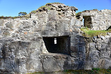 Gun Loop |
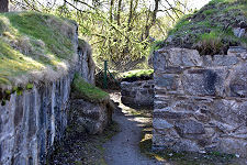 Passage on the West Side |
 Part of the Drummond Tower |
 More of the Drummond Tower |
 Remains of a Staircase |
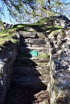 Stairs in Situ |