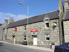
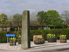
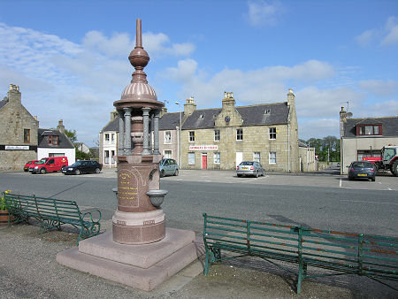
 Village Square |
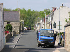
The village of Aberchirder, or as it's more often known locally, Foggieloan, lies just to the north-west of the line of the A97 about half way between Huntly and Banff. Travellers on the main road see the edge of the village, but a slight detour is required to really get a feel for the grid pattern of streets that form this planned settlement.
Today's village dates back to 1764. The local laird, Alexander Gordon of Auchintoul decided to establish a new village here to increase his rents from part of his estate which, as moorland reaching a height of 500ft, had until then generated little income. He advertised widely for people with skills and motivation to come to Banffshire, promising ample provision of building stone and ready availability of good water.
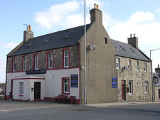
The village itself was established around the central axis of Main Street. Back Street (now North Street) and Long Lane (now Southview Terrace) ran parallel to it, and the overall pattern ended up as a grid around a central square placed half way along Main Street. The original village comprised mainly single storey stone-built thatched cottages with long gardens intended to provide the residents with much of their food.
Many of the houses were improved during the century that followed, often being rebuilt as two storey dwellings, and in 1805 the Huntly to Banff turnpike road was built passing the southern edge of the village. Today the A97 follows the line of the original turnpike road, and the original village has grown out to meet it, incorporating the main road as South Street.
The name of Aberchirder is a contentious issue. The only settlement within the area covered by the 1764 village was a croft, now on the site occupied by the Fife Arms Hotel overlooking The Square. This was called Foggieloan, a name apparently deriving from the Gaelic for "peaty meadow" and an apt description of the land on which the village was built. When first established, Aberchirder was known as Foggieloan, or just as Foggie, and both remain in common use in the village itself.
The change of name to Aberchirder was imposed by the laird in 1823. The name derived from the old settlement and church of Aberchirder which grew up, as the name implies, at the mouth of the Chirder Burn where it flowed into the River Deveron some two miles south-west of Foggieloan. Over the centuries the Chirder Burn was renamed as the Crombie Burn after the Thanes of Aberchirder whose family name was Crombie, and the settlement of Aberchirder fell out of use. But the name continued to carry a sense of history associated with of the medieval Thanes of Aberchirder, who had lived at Crombie Castle on the banks of the Crombie Burn. The last Thane of Aberchirder, John Crombie, died in 1390.
Perhaps in 1823 the laird simply felt that a name with some historic resonance was more likely to help his village (and his rents) grow than sticking with "Foggieloan": despite the oddity of having an upland village carrying a name which implies it stands at the mouth of a river.
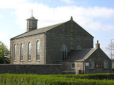
To add to the confusion, the name of the parish of which Aberchirder forms a part is Marnoch, which comes from the tiny settlement which now stands close to the original Aberchirder. In 1840 Aberchirder led the way in what became, three years later, the Scotland-wide Disruption of the Church of Scotland. The laird sought to impose a new minister on the parish who was not to many of the congregation's liking. They responded by leaving the Church of Scotland en masse and building a Free Church in Aberchirder itself. Some of the old schisms have since been healed and Marnorch New Church, as it is now known, is today the Church of Scotland parish church.
 Looking Down Main Street |

|
|
|
Visitor InformationView Location on MapWhat3Words Location: ///page.spud.leaps |
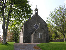 St Marnan's Episcopal Church |
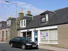
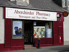 Aberchirder Pharmacy |
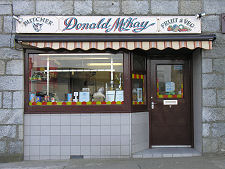 Donald McKay, Butcher |
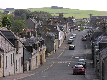
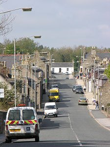 Looking Up Main Street |