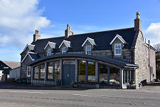
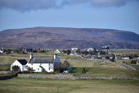
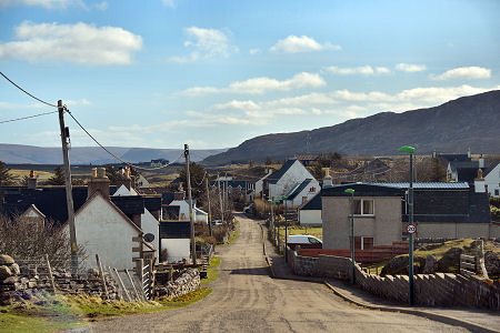
 Durness from the East |
Durness isn't the most north-westerly point in mainland Scotland, but it is certainly the most north-westerly village. It marks the place at which the main coast road from Thurso via Tongue turns left and heads south towards Scourie and Ullapool.
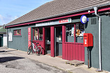
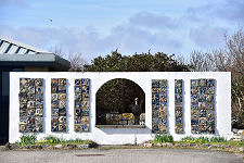
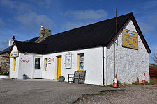
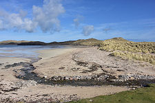
In this remote spot you will find an excellent range of services, including a superbly located camping and caravanning site on the cliffs overlooking Sango Bay, one of many excellent beaches in the area. Near the village hall is the John Lennon Memorial Garden, dedicated to the memory of John Lennon, who spent many childhood holidays in Durness.
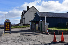
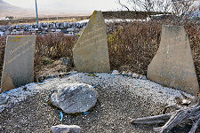
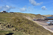
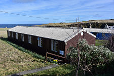
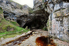
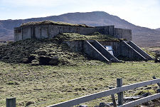
On the east side of the v illage is one of its main attractions, the spectacular Smoo Cave, a combined sea and freshwater cave complex which you can explore by boat or by the path from the car park on the cliffs above. Evidence has been found of human occupation here dating back 5,000 years. Nearby is the Durness Smoo Youth Hostel, which occupies buildings originally constructed for the World War Two radar station here, known as RAF Sango. There are more remnants of the radar station visible nearby and on the headland to the north. (Continues below images...)
 Durness from the Balnakeil Road |
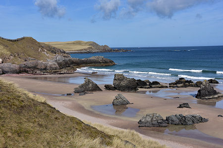 Sango Bay at Durness |
In 1841, Durness was the first area in which residents did not simply accept being cleared off their land to make way for sheep. Military intervention in support of the landowner ensured partial clearance did eventually take place, but it was not as widespread as originally had been intended. And the refusal of crofters in Durness simply to accept their fate showed others elsewhere in the highlands and islands that resistance was possible.
Durness remained very isolated until relatively recently. In 1894 it was noted that anyone covering the 20 miles from Tongue had to use three ferries, across the Kyle of Tongue, the River Hope, and Loch Eriboll. Little wonder that Durness parish, which until 1724 stretched as far as Tongue in the east and Kylesku in the south, was split into three. A good road from the south was completed in 1893, and from the following year there was a daily coach connecting Durness with the railway station at Lairg, some sixty miles to the south-east.
To the north-west of Durness is Faraid Head and the magnificent beach at Balnakeil Bay. Further in the same direction is Cape Wrath. There is no direct access to it by road, but a passenger ferry does cross the Kyle of Durness from Keodale, two miles south-west of Durness. This connects with a minibus that makes the 14 mile trip across the rugged landscape to the lighthouse at Cape Wrath itself. The dangers here are not just the obvious natural ones: this area is also used as a naval gunnery range. Once at Cape Wrath you can either make the minibus trip back to the ferry, or turn south to walk the wild and exceptionally lonely eight miles to Sandwood Bay.
Durness is now one of the few remaining places of any size in mainland Scotland that you can only access by single track road. The white lines cease some fourteen miles south on the A838, and the road east along the north coast of Scotland to Tongue and Thurso has many single track stretches. For more information about Scotland's single track roads and how to drive them, visit our feature page on driving single track roads.
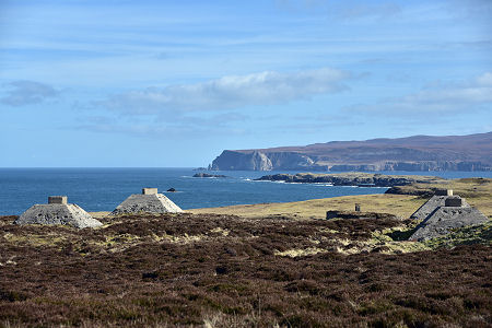 Bases of One of the Wartime Radar Towers at RAF Sango |

|
|
|
Visitor InformationView Location on MapWhat3Words Location: ///plot.differ.ledge |
 Smoo Lodge |
 Durness Smoo Youth Hostel |
 Smoo Cave |
 Part of WW2 Radar Station |
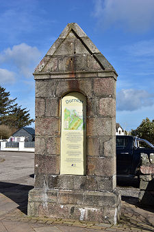
 Durness Millennium Cairn |
 Old Clock Support |
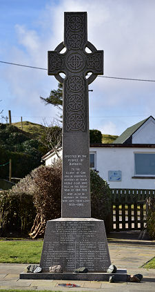 War Memorial |