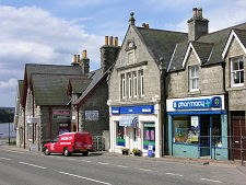
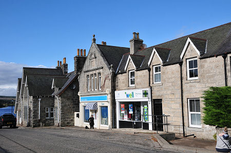
 Village Shops, with Little Loch Shin in the Background |
Lairg can be found pretty much in the centre of that part of Scotland that lies north of Inverness. Look at any map and there it sits, as the hub at the centre of the road network, and on the railway line from Inverness to Thurso.
The presence of a railway station makes Lairg the railhead for much of the far north-west of Scotland. It is also a good base for touring the area. In this part of the country, however, nowhere is all that close to anywhere else, as anyone travelling the roads of the far north will testify.
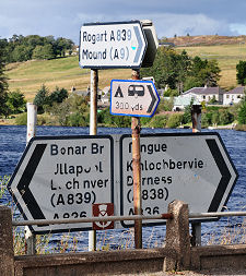
From Lairg north along the A836 to Tongue, you need to navigate 38 miles of single track road with only the tiny settlement of Altnaharra en route. Likewise, from Lairg north-west along the A838 to the coast at Laxford Bridge is a journey of 37 miles, again all single track road. The shortest route west is the mere 27 miles (and, as a bonus, not all of it on single track roads) to the main coast road at Ledmore. For more information about Scotland's single track roads and how to drive them, visit our feature page on driving single track roads. (Continues below images...)
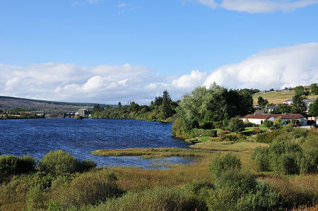 Little Loch Shin |
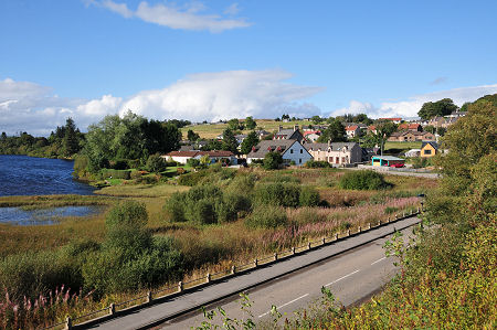
 Lairg Main Street |
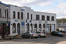
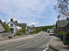
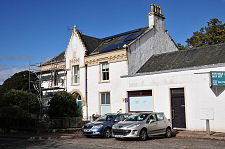
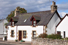
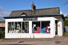
Lairg itself is best thought of as a functional centre for the area. Unless you stick wholly to the coastline in northern Scotland you'll end up here sooner or later. And when you do, you'll find it has quite a lot to offer, including a range of places to eat, drink, shop, and stay.
The land hereabouts was not always as sparsely populated as it is now. In the early 1800s the Sutherland estates of the Countess of Sutherland and her husband, the Marquess of Stafford (later to become the Duke and Duchess of Sutherland), amounted to some 1.5 million acres and formed the biggest private estate in Europe. The discovery that more money could be made from the land if it was grazed by sheep than from the rents of the crofters led to what some at the time described as "agricultural improvements".
These "improvements" meant the forcible and sometimes brutal removal of up to 15,000 people from the Sutherland estates to make room for the sheep: mostly by the estate factor, Patrick Sellar. In terms of numbers this is not far short of the combined population of Wick and Thurso today. Some displaced people were resettled in coastal communities to take advantage of the herring boom. More were shipped abroad: many to North America where they in turn helped displace the Native Americans.
Things started looking up for Lairg at the end of the 1800s, with the arrival of the railway and with efforts to diversify the agriculture of the area away from its dependence on sheep. Lairg's 20th Century history took off with a change of ownership in 1919. The new owner, Sir William Edgar Horne, financed a wide range of development in Lairg and the surrounding area. This included a diesel generator that made Lairg one of the first villages in the Highlands to gain an electricty supply, in 1924.
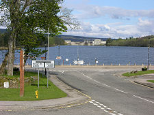
Electricity featured in Lairg's story once more in the 1950s with the construction of the hydro-electric dam that raised the level of Loch Shin by over 30 feet. Loch Shin still forms a point of focus for Lairg, and further south the falls on the River Shin form one of the major attractions of the area, complete with a spectacular salmon leap.
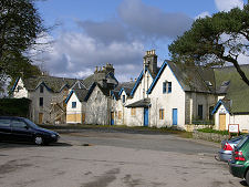
 North End of the Village |

|
|
|
Visitor InformationView Location on MapWhat3Words Location: ///dent.retrieves.brightly |
Lairg In Fiction
|
 The High Road by Ken Lussey (15 September 2023).
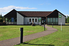 Ferrycroft Visitor Centre |
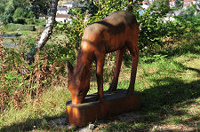
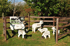 Wooden Sheep |
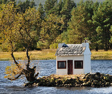 Duck House |
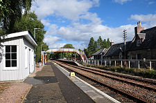 Lairg Railway Station |
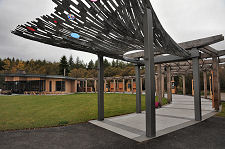 Falls of Shin Visitor Centre |
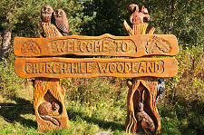 Church Hill Woodland |
 Wooden Deer |
 War Memorial From Front |
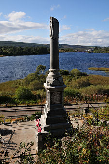 War Memorial From Behindg |