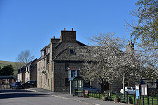
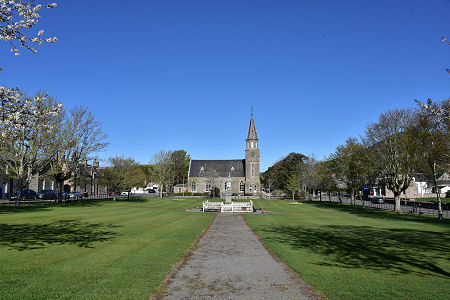
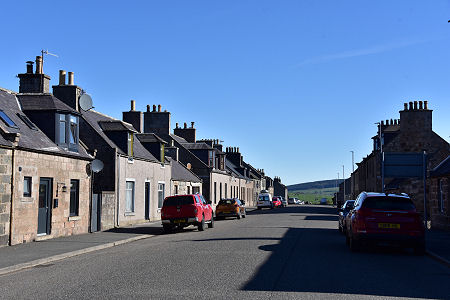
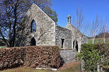
 The Square in Rhynie |
Rhynie is an attractive village in Upper Strathbogie. It stands on the line of the A97 some nine miles south of Huntly and thirteen (by road) north-west of Alford.
The population of the area today stands at around 500 people. It was probably many times larger a millennium and a half ago when what is now Rhynie was close to the heart a Pictish royal centre that had connections stretching right across Europe.
At that time, Tap o’ Noth, the hill whose summit is 1.5 miles to the north-west of Rhynie and clearly visible from it, was home to one of the largest ancient settlements ever discovered in Scotland, with up to 800 huts. (Continues below image...)
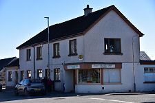
 Main Street |
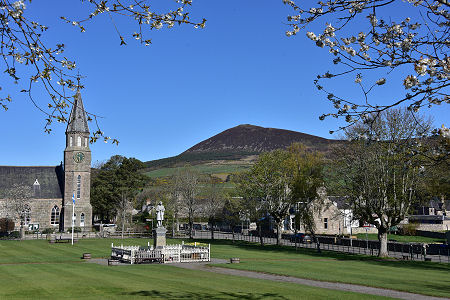 The Square in Rhynie and Tap o' Noth |
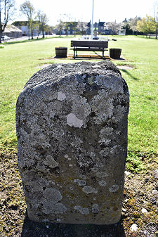
More evidence of this Pictish past here has been unearthed in the form of no fewer than eight Pictish symbol stones. The best known of these is the Rhynie Man, a cartoon-like depiction of a man carrying an axe. This is on display in Mintlaw, but three others can still be viewed locally in a shelter next to the car park at the Old Kirkyard, on the southern edge of Rhynie. Two further Pictish stones in a very weathered state can be viewed at the west end of the The Square.
Rhynie was a much quieter place during the medieval period, though there was enough of a settlement here to justify “Muir of Rhynie” becoming a burgh in 1684. The first post office was established in 1805, though the village was bypassed by railway development later that century, with the nearest station being at Gartly, three miles to the north. Gartly Station closed in 1968, though the line that ran through it remains in operation.
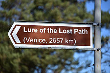
Today’s Rhynie gathers around The Square, its village green, and along the line of the A97, and offers a limited range of services to residents and those passing through. It is worth looking out for a brown tourist sign near the church pointing the way to the “Lure of the Lost Path” and noting that Venice is 2,657 km away. This refers to a pilgrimage route established by artist Anthony Schrag in 2015 when he walked from Rhynie to the to the Venice Biennale.
Two miles to the south-west, at Auchindoir, are the ruins of two churches a few hundred yards apart. One is the medieval St Mary's Kirk, while the other is its successor, the Church of Old Auchindoir, which served until it, too, became redundant in the early 1990s.
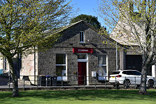
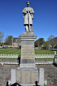
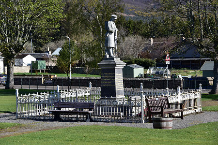 War Memorial |

|
|
|
Visitor InformationView Location on MapWhat3Words Location: ///disposing.studs.insurers |
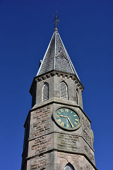
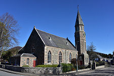 Noth Parish Church |
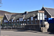 Rhynie School |
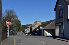 Bogie Road |
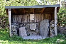 Symbol Stones Displayed in Village Symbol Stones Displayed in Village |
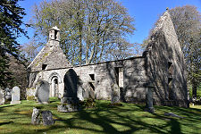 St Mary's Kirk St Mary's Kirk |
 Old Auchindoir Church Old Auchindoir Church |
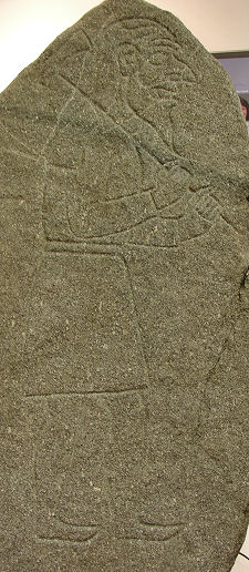 Rhynie Man Carving (Not on Display in Village) |