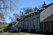
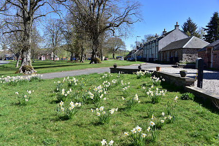
 Skirling's Village Green, with Daffodils and Lime Trees |
The lovely village of Skirling lies on the A72 just over two miles north-east of Biggar and eleven miles as the crow flies (though rather further by road) from Peebles. It stands a few hundred yards on the Scottish Borders side of its boundary with South Lanarkshire.
At around 750ft in height, Skirling lies within the Southern Uplands, with high ground in all directions, but especially to the east and south. The earliest known settlement in the area was a fort on the top of one of those hills, a mile and a half to the north-east of the village.
The earliest written reference to Skirling (as “Scrawline”) was during the reign of Robert the Bruce. The barony of Skirling he awarded was held for centuries by the Cockburn family and later by the Carmichael family. (Continues below images...)
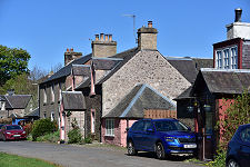
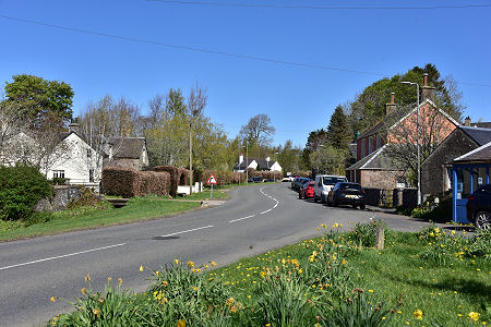 The Main Road Through the Village |
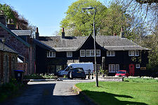
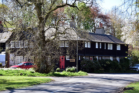 Skirling House |
It was the Cockburns who built a castle just to the south-west of the village in the 1400s. This was attacked and destroyed on 12 June 1568 by James Stewart, 1st Earl of Moray, because of James Cockburn of Skirling’s support for Mary, Queen of Scots. Little now remains of the castle.
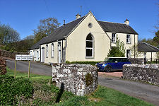
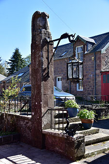
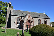
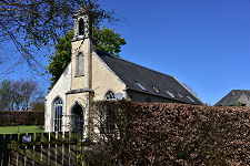
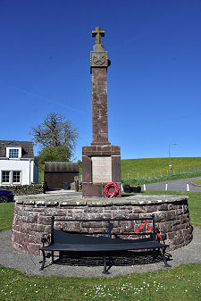
A church was first recorded in Skirling in 1275, sited near where the war memorial stand today. The present kirk stands in a prominent position on ground that rises about the south end of the village and appears to date back to 1720. The bell is dated 1748 and the building itself was extensively altered in 1891. A Free Church built in 1843 is now a private home. The war memorial was designed by Sir Robert Lorimer and erected in 1920. Skirling House, near the south-west end of the village, was built by the architect Ramsay Traquair for Lord Carmichael in 1905.
Skirling has a population of around 160, comprising residents of family-run farms and others who commute as far afield as Edinburgh and Glasgow. Younger members of the community mainly go to primary school in Broughton or high school in Peebles. There are no shops or pubs in the village, though there is a well-used village hall.
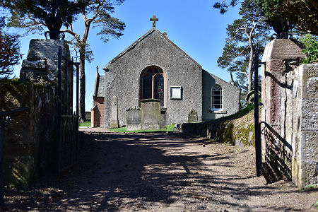 Skirling Kirk |

|
|
|
Visitor InformationView Location on MapWhat3Words Location: ///prancing.fleet.earl |
 Skirling Kirk |
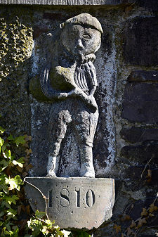
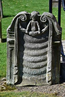 Unusual 1739 Gravestone |
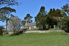 The Kirk's Hilltop Location |
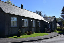
 Old Free Church |
 Village Hotel |
 War Memorial |