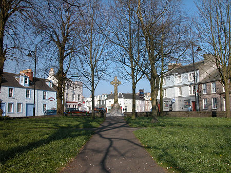
 Kirkcudbright in The Stewartry |
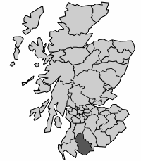
Stewartry was a district council area which existed from 1975 to 1996. It was one of four district councils that delivered a range of local level services within the wider area of the region of Dumfries & Galloway, which over this period was one of the 12 regions into which Scotland was divided.
Stewartry was formed from the core areas of the traditional county of Kirkcudbrightshire, though parts of Kirkcudbrightshire also found their way into Wigtown District to the west, and Nithsdale District to the east. The main settlements were Dalbeattie, Castle Douglas, Kirkcudbright, Gatehouse of Fleet, St John's Town of Dalry and New Galloway.
It was bordered on the east by Nithsdale and on the west by Wigtown, both also districts of Dumfries & Galloway. It was bordered on the north by Cumnock & Doon Valley, a district in Strathclyde Region.
When regions and districts disappeared from the scene in the 1996 reorganisation, the area of Stewartry became part of the unitary council area of Dumfries & Galloway. For administrative purposes, Dumfries & Galloway is divided by the council into four management areas. These use the names and follow the boundaries of the earlier districts, so the area of Stewartry District now forms the Stewartry management area of Dumfries & Galloway.