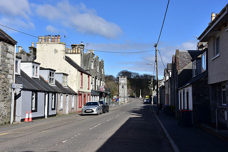
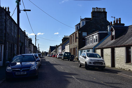
 St John Street from the South |
Creetown stands on the east side of the River Cree just at the point it opens out into Wigtown Bay. It is almost exactly half way between Dumfries and Stranraer by road, but its relative tranquility is preserved by a bypass which takes the A75 along the shore of the River Cree past the west side of the village.
The origins of Creetown were as Ferrytown of Cree, the point from which for several centuries from the 1500s travellers were ferried across the River Cree to land on the far shore, known as the Moss of Cree, before making their way by road to Wigtown.
From the 1760s the village benefitted from being on the route of the military road built from Bridge of Sark on the English border via Dumfries to Portpatrick. (Continues below image...)
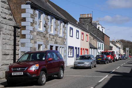
 St John Street from the North |
The village seems to have grown steadily during the 1700s, but the most important development came in 1785. The local laird, James McCullogh of Barholm, renamed the village Creetown and redeveloped it as a planned village with St John Street as its spine and High Street, oddly, as an almost insignificant appendage projecting east from its northern end. The village's nautical links were not forgotten, and Harbour Street reflects the existence of a once thriving harbour where the Moneypool Burn empties into the River Cree on the south-west side of Creetown.
The village really began to grow with the opening up of a number of industries in the area. The large scale excavation of sea shells took place at the mouth of the River Cree, and the extracted shells, useful as fertiliser, were exported by sea from Creetown. Meanwhile James McCullogh also built a cotton mill, and lead mining in the area resulted in the establishment of a lead shot factory which remained in production until 1840.
But by far the largest industry in the area involved the quarrying of Galloway granite, mainly from a number of quarries on the hillside overlooking Wigtown Bay to the south of Creetown. Quarrying began in the 1700s, but became truly industrial in scale when the Kirkmabreck Quarry was opened in the 1830s by the Liverpool Dock Trustees. Four decades later the granite from the quarry was still being shipped to Liverpool to help build that city's extensive docks. Another quarry that opened in the 1860s transported its granite to a purpose built pier by tramway.
The railway arrived in Creetown in 1861, or at least close to it: the station was the better part of a mile north of the village. The railway was closed in 1965, and in modern times granite extraction in the area has tended to move from the production of blocks to the production of aggregate for road building. Meanwhile the land beside the harbour, which was still active in 1900, is now home to a caravan site.
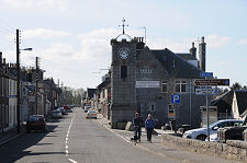
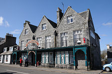
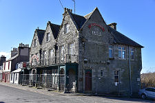
Today's Creetown reflects the local granite in a very direct way, and the result is a visually pleasing village. At the north end of Creetown is a granite clock tower erected in 1897 to mark the Diamond Jubilee. The following year the equally granite Ellangowan Hotel was built nearby.
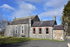
The centre of the village is dominated by the Ellangowan Hotel. This closed in 2020 and has not reopened. Creetown is home to two museums. The Creetown Heritage Museum stands towards the south end of St John Street, while the large Gem Rock Museum, which was established here in the early 1970s, occupies an old school on the north-east side of the village. Creetown is also known for being used in the filming of the 1973 cult film The Wicker Man.
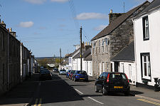
 Houses in St John Street |

|
|
|
Visitor InformationView Location on MapWhat3Words Location: ///adjusting.cheered.pass |
 Harbour Street |
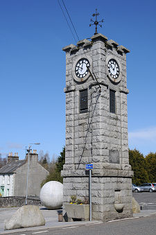 Clocktower in Adamson Square |
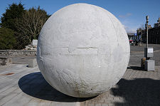 Sphere in Adamson Square |
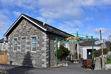
 Quarrymen Arts Centre |
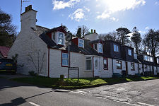 High Road Cottages |
 King George V Gateway |
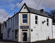 Creetown Stores |
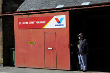 St John Street Garage |