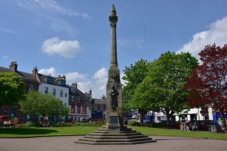
 War Memorial in Wellmeadow |
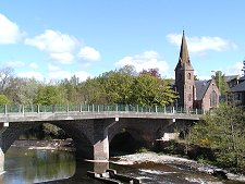
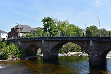
Blairgowrie has always been one of a pair with Rattray, on the opposite side of the River Ericht. In the early 1700s the town became the starting point for the military road north to Braemar. This took a route up the west side of the River Ericht from Blairgowrie. At about the same time Blairgowrie was connected to Rattray by a bridge. The modern A93 to Braemar heads north up the opposite, east, side of the river.
This original bridge was washed away in the 1840s, but quickly replaced with another. The bridge linking the two parts of the community today has been considerably expanded to cope with the traffic now making use of it.
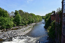
The settlement's growth owed a great deal to the power of the River Ericht as it flowed south from the Cairngorms. Water-powered linen mills were starting to take advantage of the location by 1790, when 100 weavers were employed.
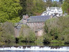
By 1860 there were 11 water-powered mills on this stretch of the river, employing 1,600 people, and the town grew significantly to accommodate them. Of these mills, eight were turning flax into linen, while three were processing jute. The Keathbank jute mill was added to the eleven already in operation in around 1870, bringing with it the largest water wheel in Scotland. The mill lies on the Rattray side of the river a mile or so up the A93 Braemar road. (Continues below image...)
 River Ericht |
The 1900s saw a shift away from textiles. Instead, Blairgowrie started to take advantage of its location en route to the Glenshee Ski Centre. Hotels and ski shops were not slow to provide for this new market. Other leisure developments included the Blairgowrie Golf Club to the south of the town. This had offered members an 18 hole course since 1889. Today it has two 18 hole championship courses plus a 9 hole course.
Meanwhile, Blairgowrie had also became the centre of the Scottish soft fruit industry: and the raspberry industry in particular. Any journey round the area, especially on the south facing slopes on the north side of Strathmore, reveals field upon field of raspberry canes; nowadays often concealed within polytunnels. Until the process was mechanised, raspberry picking provided seasonal employment for armies of pickers, many from cities like Glasgow. Much of what emerged as a result went for canning at Smedley's canning factory in Blairgowrie, until it closed in 1979. Also long gone is Blairgowrie railway station, which opened in 1855 at the end of a branch line from Coupar Angus and closed to passengers exactly 100 years later and to freight in 1965.
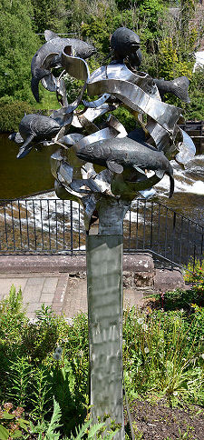
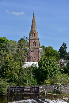
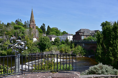
Today's Blairgowrie repays exploration. The banks of the River Ericht are particularly pleasant and offer a number of walks. The turbulence of the river is reflected in the remarkable steel sculpture near the bridge, an interplay of fish and the image of the swirling water.
A more practical structure can be seen on the river bed below the bridge, where a fish ladder has been provided to allow the annual migration of salmon to take place whatever the state of the river.
And finally, if you are approaching Blairgowrie from Perth along the A93, look out for the Meikleour Beech Hedge. At an average of over 100 feet high and at over 580 yards long, this is the longest and tallest hedge in the world. Spare a thought for those who have to keep it trimmed...
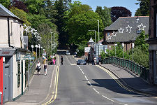
 Allan Street |

|
|
|
Visitor InformationView Location on MapWhat3Words Location: ///airstrip.scars.fooling |
Blairgowrie In Fiction
|
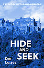 Hide and Seek by Ken Lussey (26 May 2023).
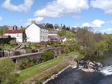 Riverbank and Blairgowrie |
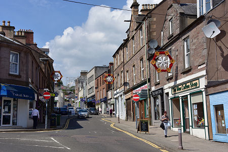
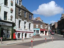 Shops |
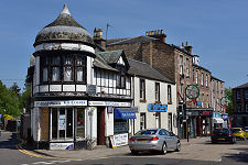 Newsagent |
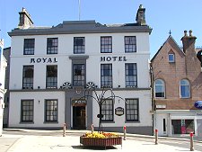 The Royal Hotel |
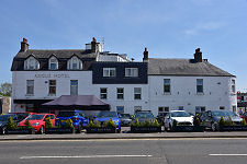 The Angus Hotel |
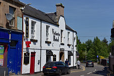 The Victoria Hotel |
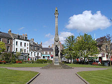 War Memorial |