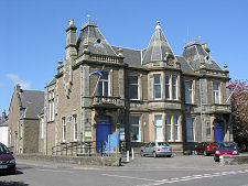
 The Tolbooth on Queen Street |
Coupar Angus is a small town some four miles south-east of Blairgowrie and twelve miles north-east of Perth on the road to Forfar. It lies on the south side of the meandering River Isla and in the heart of the broad fertile valley of Strathmore.
A stream which runs through the town before flowing into the River Isla once formed the boundary between Perthshire to the west and Angus to the east. The oldest part of the town lay to the east of the stream and the theory is that it became known as Coupar Angus to differentiate it from Cupar in Fife. The irony is that today the boundary lies three miles further east, so Coupar Angus is now in Perthshire.
The area around Coupar Angus has seen human activity for millennia. The first visitors to leave large scale evidence of their time here were the Romans, who built a marching camp on what is now the east side of the town. Somewhat later Strathmore saw considerable activity during the Pictish era, and an imposing Pictish symbol stone, the Keillor Stone, stands on a ridge three miles east of Coupar Angus. In early medieval times, Coupar Angus was a royal thanage, meaning it was governed on behalf of the king by a thane or early form of baron. This implies there was a significant settlement established here at the time. (Continues below image...)
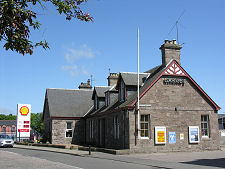
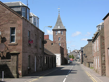
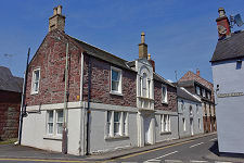
 Coupar Angus High Street |
In 1164, King Malcolm III provided for the foundation of a Cistercian Abbey just to the south of the town by monks from Melrose Abbey. Known as the "Abbey of the Blessed Virgin Mary of Coupar" this thrived until it was largely destroyed by a mob in 1559, at the beginning of the Reformation. Though badly damaged, the abbey was only formally disestablished on the death of the last monk in 1606, at which time the abbey and its lands were granted to James Elphinstone, Lord Coupar. The abbey then served as a quarry for new building during the expansion of Coupar Angus, which was made a burgh and allowed to hold a market in 1607.
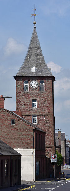
In 1702 stone from the abbey was used to help build an imposing tolbooth, complete with tower. This was paid for by public subscription and initially served as the town jail as well as providing a meeting place for the burghers. When a post office was established in 1730 the town was known as "Coupar in Angus". Linen manufacture became an important industry in the second half of the 1800s, and by 1870, jute, flax and hemp were all being processed in the town.
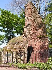
During the early 1800s a new parish church was built which seems to have reused the site and much of the surviving stone of the old abbey. Today all that remains of the abbey is a single piece of masonry, possibly once forming part of a gateway, standing to the side of Queen Street as it makes its way south-east out of the town. It has also been suggested that a secret "ley" tunnel linking the abbey with a souterrain at Pitcur, 2½ miles to the south-east, was found by two women in the 1800s, one of whom disappeared into it without trace.
Coupar Angus gained a railway station in 1837, and in 1855 became a junction station where the line to Blairgowrie joined the main line from Perth to Forfar and Aberdeen. But the railway closed to passengers in 1951, the branch to Blairgowrie closed altogether in 1965, and all services ceased on the main line and the tracks were removed in 1982.
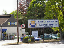
Modern Coupar Angus is the centre of a thriving agricultural area. Significant employers include a large chicken processing plant and a number of businesses supporting farmers across Strathmore, such as East of Scotland Farmers Limited.
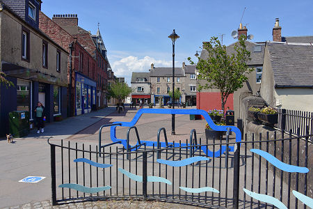
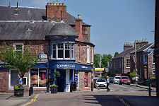
 George Square |

|
|
|
Visitor InformationView Location on MapWhat3Words Location: ///stance.urgent.cook |
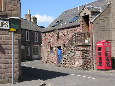
 Union Street |
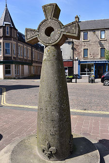 Modern Mercat Cross |
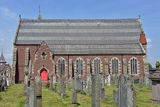 Parish Church |
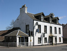
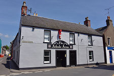 The Athole Arms |
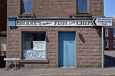 Fish and Chip Shop |
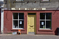 High Street Store |
 Shops |
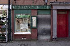 Heritage Centre |
 Gray Street |