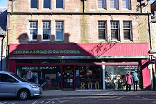
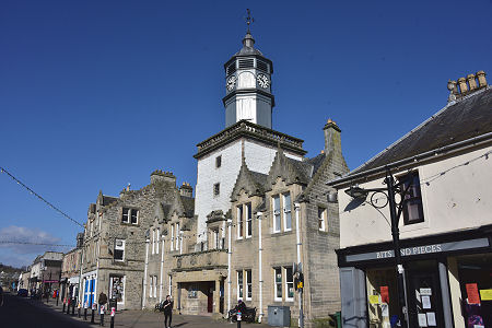
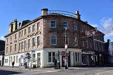
 Dingwall High Street and Museum |
Dingwall lies in a strategically important position at the head of the Cromarty Firth. Its name means "Parliament Field" in Old Norse, showing that the town was an important centre as far back as the the arrival of the Vikings in Scotland.
For most of the next thousand years, Dingwall was the administrative centre of a vast swathe of northern Scotland known as Ross, Ross-shire and later Ross & Cromarty. Except for a series of enclaves forming Cromartyshire, this extended east to the Black Isle and Cromarty and, remarkably, stretched to the west coast and beyond, to include Lewis in the Western Isles.
This arrangement, which persisted until the creation of the Western Isles Council in 1975, could hardly have led to responsive local government in the days when it took a rail journey to Kyle of Lochalsh followed by a steamer to Stornoway to get to the far side of the area for which Dingwall was county town.
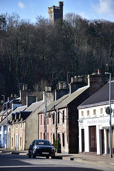
Dingwall's far-flung importance is reflected in the town itself. Much of the early development focused on a castle built in the 1200s, possibly on the site of the fortress in which Macbeth was born in about 1010. The castle was rebuilt in stone by the Earl of Ross. It later fell into disuse and then ruin, to be replaced by more modern trappings of power such as council offices and the courthouse and police station. (Continues below images...)
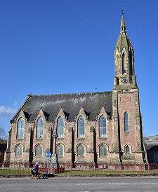
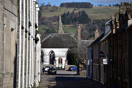 Church Street and St Clements Parish Church |
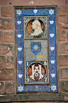
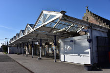
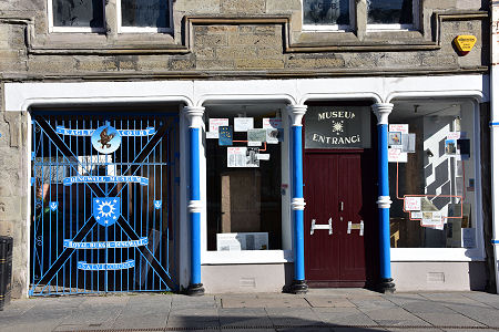 Museum Entrance |
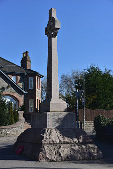
 Dingwall Civic War Memorial |
In 1814 the River Conon and River Beauly were bridged south of Dingwall and the town increasingly became the focus of inland communications within northern Scotland, with roads built to Tongue, Dornoch and Lochcarron. The railway arrived from Inverness in 1862, and from 1870 Dingwall was an important junction between the lines heading west to Kyle and north to Wick and Thurso.
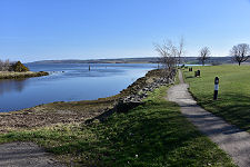
Dingwall also grew from its Norse beginnings to become a significant port, complete with a harbour built by Thomas Telford in about 1820. This project also involved turning the River Peffery into a canal to ensure access to the harbour from the Cromarty Firth whatever the state of the tide. Little evidence of Dingwall's maritime history now remains.
For much of the 1900s Dingwall its congestion were fixtures on the main A9 as it made its way north from Inverness to Wick. This all changed with the opening of the Cromarty Firth Bridge in 1979, which carried the A9 well to the north-east of Dingwall and cleared the town of its through traffic.
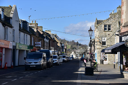
Today's Dingwall is a bustling market town. It benefitted from growth following the building of the short-lived Invergordon aluminium smelter, and from the Cromarty Firth's role in supporting the North Sea oil industry. The town centre is now bypassed by local traffic, allowing better appreciation of the fine stone from which much many of its buildings are constructed.
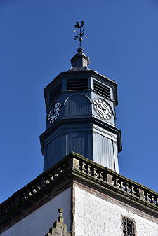
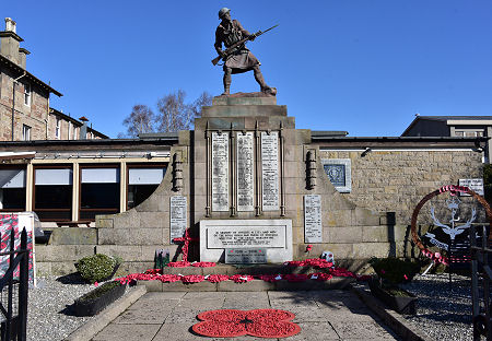
Centrally placed in the High Street is Dingwall's most striking building, the tolbooth. This has a tower that dates back to 1730, though the wings that flank it were added in 1905. Today it houses the Dingwall Museum. At the east end of the High Street and overlooked by the towering Free Church of Scotland is Dingwall's attractive railway station, complete with The Mallard, the pub on the main platform. The approaches to the railway station are home to athe town's unusually large collection of war memorials.
 Dingwall High Street |

|
|
|
Visitor InformationView Location on MapWhat3Words Location: ///prouder.script.scatter |
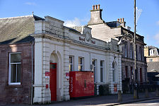
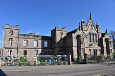 Old Sheriff Court Buildings |
 Highland Theological College |
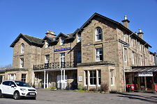
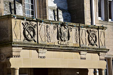
 Royal Hotel/span> |
 Free Church of Scotland |
 Railway Station |
 Boer War Memorial/span> |
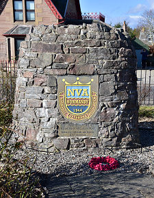 Normandy Veterans Association |
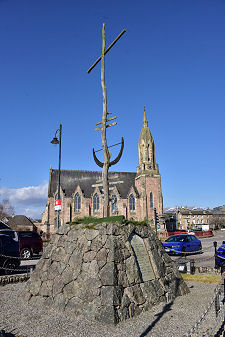 Battle of Cambrai Memorial |
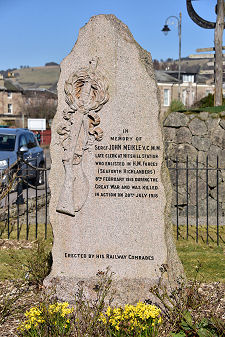 John Meikle VC MM Memorial |