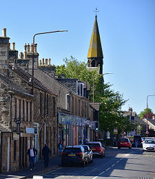
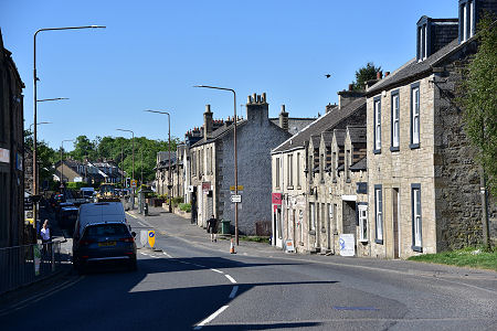
 East Calder Main Street, Looking North-East |
East Calder is a village that lies two miles east of Livingston and a mile east of its neighbour and near namesake, Mid Calder. The two Calders are prevented from merging by a strip of open countryside that runs along the line of the valley of the Linhouse Water.
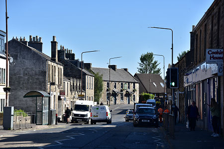
The B7015 passes through the centre of East Calder twisting and turning as it does so. Until 1981, when both Calders were bypassed to the south by the A71, the road through them formed part of the main route from Edinburgh to Lanark.
As you try to negotiate your way through a village in which parked cars often prevent two way traffic from flowing, it is a sobering thought that without the bypass, this would be an even busier place. (Continues below images...)
 East Calder Main Street, Looking South West |
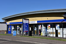
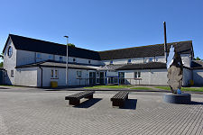
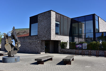 The Dave King Partnership Centre |
The centre of East Calder remains fairly tightly confined by the proximity of the valley of the River Almond to the north. Today this forms part of the Almondell and Calderwood Country Park, a linear country park that follows the river valley. Large scale residential development has taken place to the south and to the east, however.
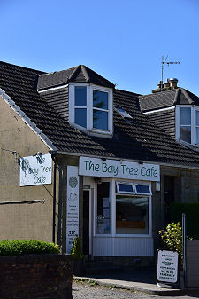
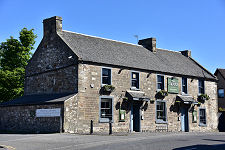
The main road is home to most of the village facilities, including a pub, various shops, and a bookmakers. Just off it is a recreation ground and a health centre. Built in 1982 this has been described by one architectural reference as a "cathedral to health in agricultural barn aesthetic". A more recent arrival close by is the Dave King Partnership Centre, which is home to the library and a range of community facilities.
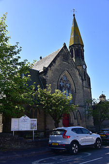
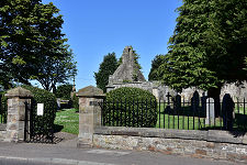
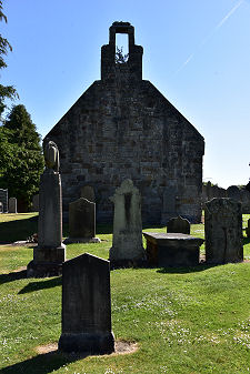
On the south side of the main street is the Kirknewton and East Calder Parish Church, built in 1888. Its arrival made the old church, St Cuthbert's, redundant. The earlier church had been built in the 1500s and still stands, roofless, towards the west end of the village on the north side of the main street. The churchyard is not as fruitful a mine as you might hope for old gravestones, but there are a few interesting ones on view.
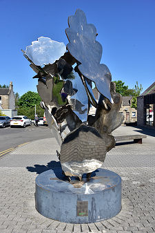
East of East Calder is Camps Industrial Estate, whose name is interesting, though the exact origin of it is difficult to pin down. This is becoming increasingly surrounded by some of the new residential development menioned above. Further east again, close to the junction between the B7015 and the A71 is Bonnington House, whose grounds are home to a contemporary sculpture garden known as Jupiter Artland.
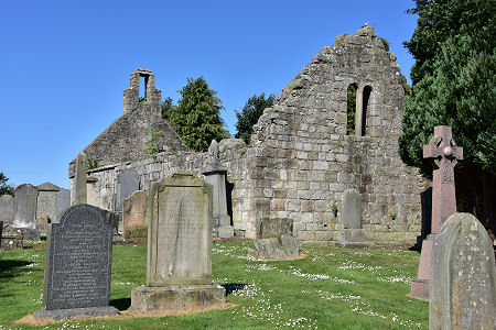 The Ruins of St Cuthbert's Church |

|
|
|
Visitor InformationView Location on MapWhat3Words Location: ///deep.blink.civil |
 Dave King Partnership Centre |
 East Calder Health Centre |
 Past and Present |
 The Grapes |
 Inkwell Tattoos |
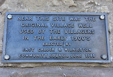 Site of the Village Well |
 Shops |
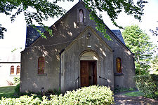 St Theresa's Church |
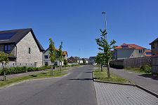 New Housing East of the Village |