 Baleshare's West Coast |
As the loop of road that circumnavigates North Uist meets and heads towards the southern tip of the island at Carinish, look out for the junction with the road heading west to Baleshare or Baile Sear.
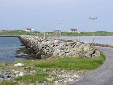
This minor road leads you to the landward end of a 350m long causeway built in 1962 to connect the island of Baleshare with North Uist. The link has helped sustain Baleshare's population at a viable level. Some 58 people lived here in 2011, up from 49 a decade earlier.
This in turn was rather fewer than the 67 in 1981. But it's worth noting that other islands still populated in 1960 which didn't get fixed links were later abandoned. Scarp, to the west of Huisinis on Harris, is a good example.
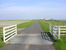
It has to be admitted that Baleshare is not the most interesting of islands, and a visit is probably only for those with time on their hands, or who want to visit as many islands as possible. Once across the causeway you find yourself in a remarkably flat landscape: so flat that on the Ordnance Survey 1:50,000 scale map there is not a single contour line shown anywhere on the island. And so flat that the absence of landscape features can make navigation an interesting experience.
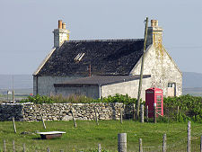
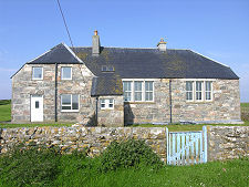
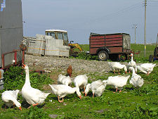
Baleshare measures about four miles from north to south by two miles from east to west. The southern half of the island is totally empty. Most of the island's small population is congregated along the eastern shore overlooking North Uist, or in a scattered line of crofts and cottages that straggle along a road running the length of the northern half of the island.
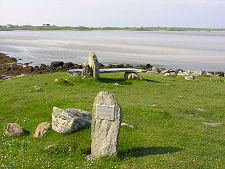
Baleshare means east township and the island was the first in the Western Isles to turn kelp collection into an economic activity. It is thought that there used to be a matching "west township", perhaps located on the west side of Baleshare or on the now deserted island of Kirkibost to the north. This disappeared, probably as a result of a storm, in the 1500s and no trace of it now remains.
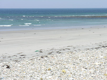
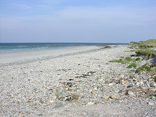
Despite the flatness, you should try to find your way to the line of dunes that fringe the beach. What was once a stony car park overlooking the beach has been rendered a little marginal by coastal erosion, but from here you can walk down onto a vast expanse of shell-white sand via the band of shingle edging the dunes.
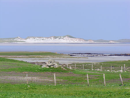
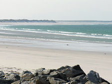
The views here can range from glorious to intimidating, depending on the state of the weather. But they are always magnificent. To the north is the low white fringe of North Uist's beaches. To the south the sweep of the white beach of Baleshare blends invisibly into the beach skirting Benbecula Airport. And beyond it the mountains of South Uist loom distantly.
 Dunes at the Northern Tip of Baleshare |

|
|
|
Visitor InformationView Location on MapWhat3Words Location: ///ironic.announce.fast |
 West Coast View South |
 West Coast View North |
 Baleshare Seen from North Uist |