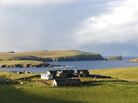
 Fora Ness |
South Mainland is the tail of Shetland: the area starting a few miles south of a line between Scalloway and Lerwick and continuing for over 20 miles to Sumburgh Head, the punctuation mark at Shetland's southern tip.
The road from Lerwick to Shetland's main airport at Sumburgh is excellent and it is possible to cover the ground between them quite quickly. But unless you've a plane to catch this is a part of Shetland worth exploring more thoroughly.
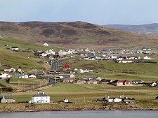
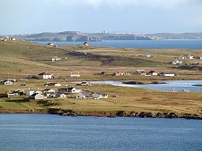
Most of the settlements in South Mainland lie on the east side of the peninsula, strung out along the main road or scattered between it and the sea. As you head south, you pass through or past settlements with names like Gulberwick, Quarff, Fladdabister and, the largest of them, Cunningsburgh. East and West Quarff lie at the ends of one of Shetland's very few east-west valleys and it is probable that the Vikings dragged their boats across Mainland here to avoid sailing around the southern end.
At Sandwick the main road loops west around a series of deep bays, leaving a line of headlands culminating at No Ness. Just offshore here is the island of Mousa, complete with the best preserved broch in Scotland, still standing to a height of over 13m. This is open from April to September and accessible by boat from Sandwick.
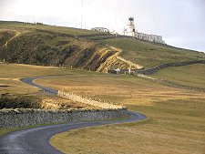
South again takes you past the masts and aerials perched along the top of the 263m high Ward of Scousburgh before eventually passing Toab as you come into sight of Sumburgh Airport, with Sumburgh Head beyond it. The lighthouse at the far end of the head provides magnificent views, as well as giving access to a colony of puffins, and the chance - sometimes - to spot whales feeding in the turbulent waters to the south of Sumburgh Head.
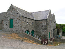
A little north of Sumburgh Airport a little loop of side road to the east of the main A970 just south of Boddam takes you past the Shetland Crofthouse Museum at Voe.
The other main attraction nearby is Jarlshof, a complex series of layers of habitation beginning in the stone age and ending with the Old House of Sumburgh, built in 1604. Like Mousa Broch this is in the care of Historic Environment Scotland, and it is open from April to September. At the Old Scatness Broch a similar site has been under excavation for a decade, and can be visited as work in progress.
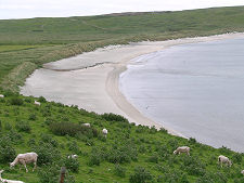
At the southern end of South Mainland it is possible to see more of the west side of the peninsula. At Quendale is an impressive water mill. A little further north the "B" road through Scousburgh and Bigton provides an alternative route north. This also allows you the chance to visit beautiful St Ninian's Isle, connected to the Mainland at Bigton by a tombolo, a bar of sand. St Ninian's Isle found fame in 1958 when a schoolboy uncovered a horde of silver bowls and ornaments hidden there since around AD800.
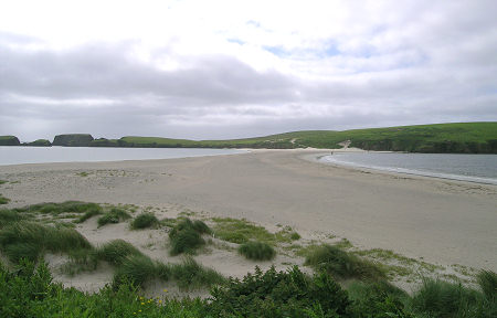 St Ninian's Isle |

|
|
|
Visitor InformationView Location on Map |
 Cunningsburgh from the South |
 Greenmow and Distant Bressay |
 Voxter |