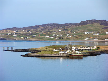
 View Across Loch Ewe with Aird Point in the Foreground and Mellon Charles in the Background |
Aultbea lies some five miles north of Poolewe, on the north-eastern shore of Loch Ewe and sheltered by the Isle of Ewe. It forms the most southerly point of a three mile long scattered community. This extends along the shore of the loch, including places individually named Drumchork, Bulnaluib, Ormiscaig and Mellon Charles.
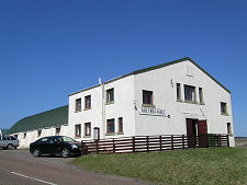
Though dispersed, these crofting townships together form one of the largest communities in the area. One result is a better than average set of facilities. These include a general store, a butcher, a post office, two churches and a garage.
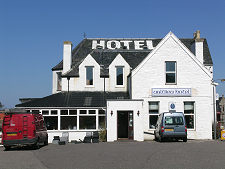
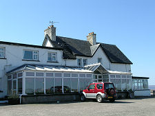
There are also two hotels in the area. The more obvious is the Aultbea Hotel, standing on the shore of the loch as you drive into Aultbea. The Drumchork Lodge Hotel is actually rather larger, but sited on the hillside to the south-east of the main road: a location that gives it stunning views.
Aultbea has a small harbour at Aird Point. The observant will note other moorings below the main road south of Aultbea. These relate to a NATO naval refuelling facility and explain the presence of warships in the loch from time to time: and, on one occasion we were there, a group of Dutch Marines setting up camp in the layby on the main road more usually used to give passing motorists scenic views over Aultbea.
The naval base is a reminder of Loch Ewe's role as a gathering place for Second World War shipping convoys carrying supplies around the North Cape of Norway to Murmansk in the USSR, and reflects both the depth of the loch's waters and the shelter it afforded. Because Loch Ewe faces north it is much better sheltered from the prevailing westerly winds than other lochs along this coast.
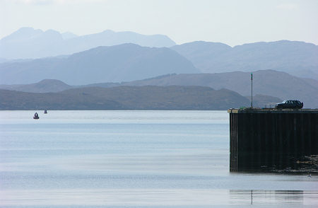 Torridon Mountains Seen from Aultbea Across Loch Ewe |

|
|
|
Visitor InformationView Location on MapWhat3Words Location: ///magically.knots.binds |
Loch Ewe In Fiction
|
 Eyes Turned Skywards by Ken Lussey (12 August 2024).
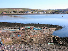 View from Aird Point to Aultbea |
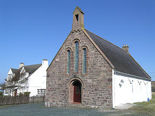 Aultbea Church |