 Kishorn (Ardarrach) with the Applecross Mountains in the Background |
You'll struggle to find a village called Kishorn on an Ordnance Survey map, though the name does appear on road signs and on shops and other local facilities. "Kishorn" is really a general description for the area around the head of Loch Kishorn, including the villages of Achintraid, Ardarroch and Sanachan, and Courthill Chapel. But as everyone else talks about it as if it was a single village, we will too.
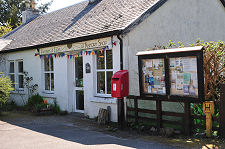
The main road, the A896, from Lochcarron descends steeply as it approaches Loch Kishorn from the east. It passes through Sanachan before swinging around to the north and heading north towards Shieldaig and the junction with the minor road that crosses the formidable Bealach na Ba to Applecross. As it descends towards the loch the A896 passes the Kishorn Shop, the nearby Kishorn Selfie Box (an old red telephone box), the Seafood Bar, and the straggle of cottages making up Sanachan.
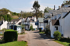
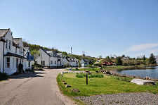
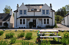
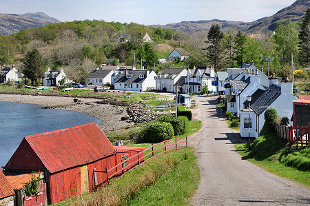
But most visitors miss the rest of the Kishorn, which you reach via a minor road that meets the A896 close to the shore of Loch Kishorn. This takes you around the east end of the loch and through the pleasant collection of houses and cottages that make up Ardarroch en route to Achintraid. Achintraid is perhaps the closest thing you'll find in Kishorn to a traditional village, with its mainly whitewashed arc of buildings gathered around a curve in the shore of the loch. Follow the road a little further and you come to a slipway giving access to Loch Kishorn. (Continues below image...)
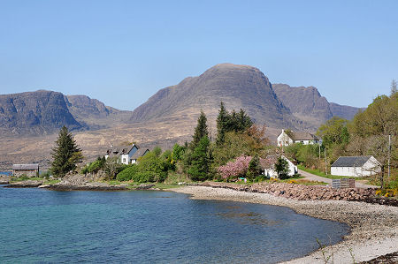
 Achintraid from the South-West |
Two factors tie the different parts of Kishorn together. The first is their proximity to the deep waters of Loch Kishorn. And second is the view they share. The view across Loch Kishorn is one of the most spectacular in Scotland, taking in the magnificent eastern face of the Applecross mountains.
As you look at this view, it's hard to believe that man has ever made much of an impact on the landscape. The reality is rather different. The evidence is hardly intrusive today when you are on the south-east side of the loch, but the far shore of Loch Kishorn beneath the mountains has at times been the scene of incredible human endeavour.
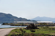
In 1975 work began on a construction yard and dock for the production of oil platforms on the north-west side of the loch. This lay at the end of a two mile stretch of road built in just 12 days to provide access to the site. By 1977 over 3,000 people were working here, housed in temporary accommodation on site and in two retired liners moored in the loch: the Rangatira and the Odysseus.
The most spectacular part of the project involved the excavation of a huge dry dock, in which was constructed the 600,000 tonne Ninian Central Platform in 1978. Materials and components were supplied by sea and when complete the platform needed seven tugs to tow it to its operating position in the North Sea. At the time the Ninian Central Platform held the record as the largest movable object ever created by man.
By 1980 the construction yard was diversifying in an effort to escape a downturn in oil exploration and production, but its days were numbered. Two thousand people were still employed in 1984, but bankruptcy in 1986 was followed by closure in 1987 and clearance of most of the buildings on the site by 1990. In 1992 the dry dock was used to construct the bridge footings for the Skye Bridge, and in 2006 quarrying began to provide material for the new ferry terminus being constructed on the island of Raasay. More recently a boat repair yard has been established on part of the site of the old construction yards, along with a renewable energy construction hub. In 2019 the first offshore rig since the 1980s arrived at Kishorn to be repaired.
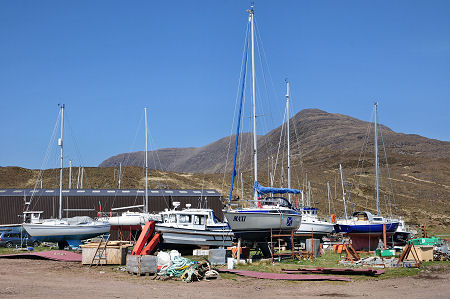 The Boatyard on the North-West Shore of Loch Kishorn |

|
|
|
Visitor InformationView Location on MapWhat3Words Location: ///dispose.haven.crackled |
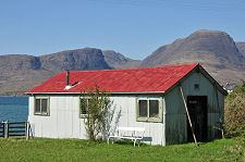
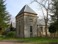 Courthill Chapel |
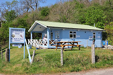
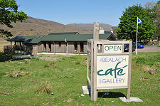 The Bealach Cafe |
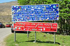 The Start of the Applecross Road |
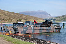 Old Landing Craft at Boatyard |
 Renewable Energy Construction Hub |
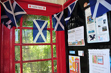 Inside the Selfie Box |
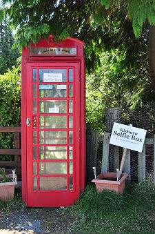 The Selfie Box |